Blog
Notes from the growth boundary
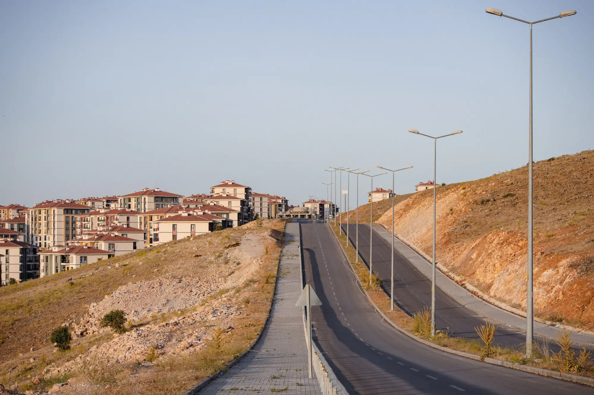 Field notes: the ring road that was supposed to be the edge
A field-notes look at why ring roads drawn to mark a growth boundary so often become the corridor where the boundary breaks first.
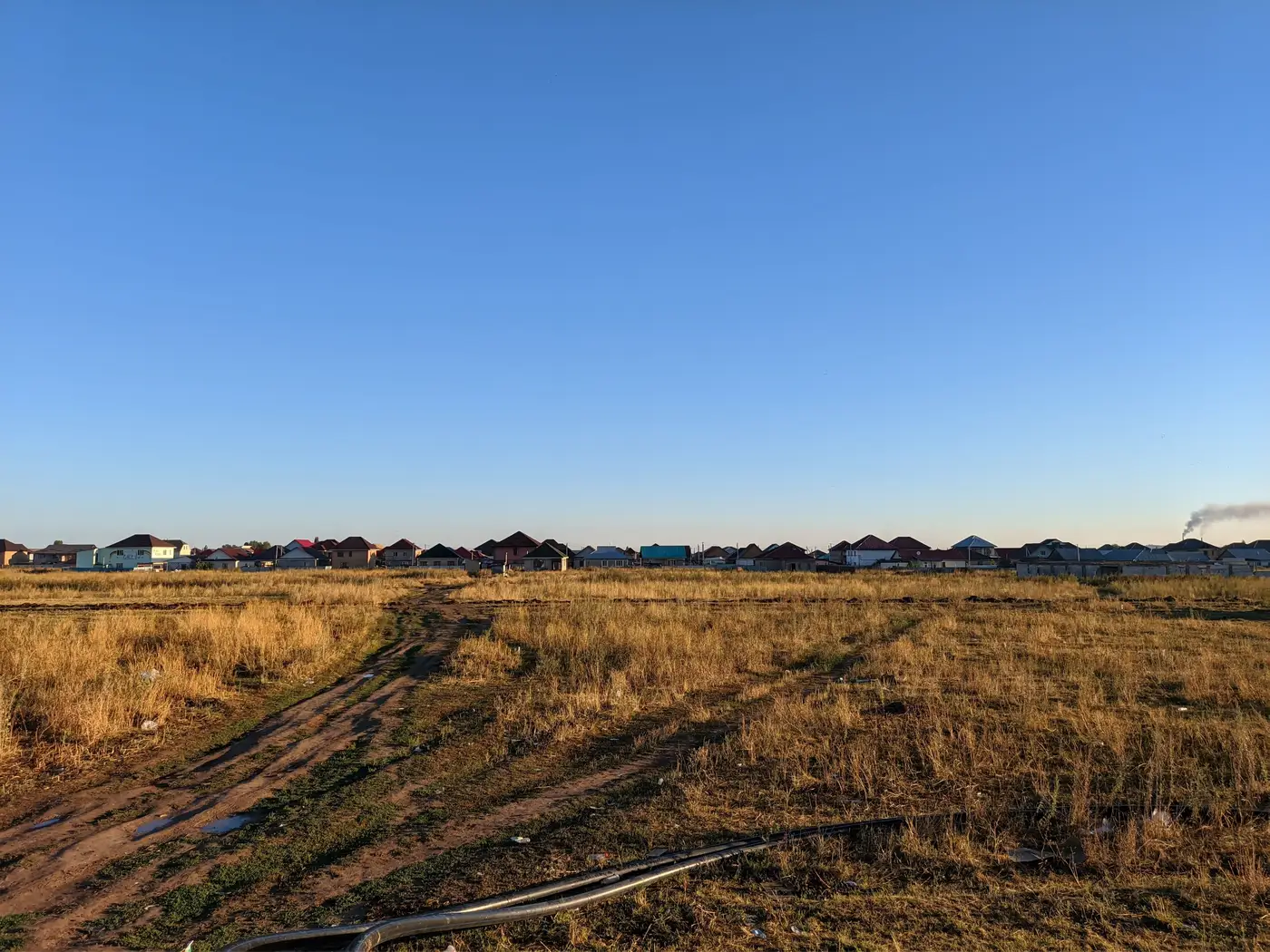 Setting a buffer around a growth boundary without flagging noise
How wide a monitoring buffer should be before built-up pixels outside a growth boundary count as real encroachment instead of imagery noise.
 How to brief a planning commission using an annual built-up change map
A practical guide to presenting an annual built-up change map at a planning commission meeting, and the questions commissioners ask.
- What is a growth boundary breach, and how do ministries measure it in hectares?
A plain-language look at what counts as a growth boundary breach and how planning ministries turn it into a hectares-based compliance number.
- Field notes: the subdivision that crossed the line a full year before anyone flagged it
A composite field note on how a boundary breach sits unnoticed for a year, and why the annual review cycle is the real culprit.
 Medium- vs high-resolution imagery for growth boundary monitoring
3-10 m medium-resolution imagery versus sub-meter high-resolution: which pixel size fits annual growth boundary monitoring, and why.
- Infill vs. boundary expansion: telling them apart in satellite imagery
How planning analysts distinguish infill development from boundary expansion using medium-resolution satellite imagery and the approved growth line.
- Greenbelt vs. urban growth boundary: what's the actual difference
A plain-language breakdown of how greenbelts and urban growth boundaries differ, and why the distinction matters for enforcement.
- How to report out-of-boundary urban growth to a development bank
How planning analysts turn satellite-based built-up change data into the hectare figure a development bank's covenant report actually needs.
- Planned extension or unplanned sprawl? Reading new built-up area in satellite imagery
How to tell a planned urban extension from unplanned sprawl using satellite imagery, plot patterns, and the approved growth boundary.
- Built-up area vs. impervious surface area: what's the difference?
Built-up area and impervious surface area aren't the same measurement. Here's how they differ and which one matters for growth boundary enforcement.
- How to delineate an urban growth boundary for a master plan review
A working method for drawing and checking an urban growth boundary line before a master plan review, from parcel work to annual footprint checks.
 How to measure informal settlement expansion from satellite imagery
A planning analyst's guide to measuring informal settlement growth against an approved boundary using annual, medium-resolution satellite imagery.
- What is leapfrog development? A working definition for planners
A plain-language definition of leapfrog development, how it differs from infill, and why it shows up late on permit ledgers and aerial comparisons.