Greenbelt vs. urban growth boundary: what's the actual difference
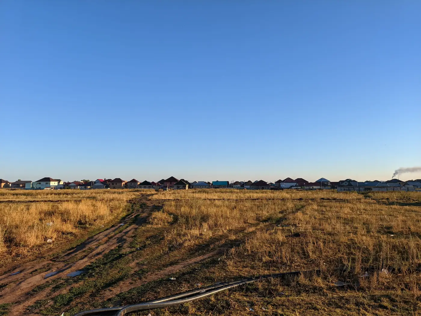
A greenbelt and an urban growth boundary get used interchangeably in public meetings, and that's understandable. Both are tools for keeping a city from sprawling into farmland, floodplain, or forest. But they're not the same instrument, they don't come from the same legal footing, and mixing them up in a staff report can send a rezoning petition down the wrong track.
A greenbelt is a place, a boundary is a line
A greenbelt is a designated ring of land, usually agricultural, forested, or otherwise undeveloped, that sits around a city and is protected from conversion to urban use. It's a zone. Portland's greenbelt-adjacent lands, the green belts around London and other British new towns, and various provincial greenbelt acts in Canada all work this way: the land itself carries a protective designation, often tied to its own statute or regional act, and development is restricted inside that ring regardless of what's happening on the city side of it.
An urban growth boundary (UGB) is different. It's a line, not a zone, drawn around the built-up area to separate land where urban-density development is permitted from land where it isn't. Everything inside the line gets access to urban services, sewer extensions, zoning that allows subdivision, the works. Everything outside stays at rural or agricultural density until the boundary itself gets expanded, usually through a periodic review process with its own public hearings.
So a greenbelt protects specific land for what it is. A UGB manages where urban development is allowed to go, using the built-up area as the reference point rather than the land outside it. You can have a UGB with no formal greenbelt at all, just a line on the comprehensive plan map. You can also have a greenbelt that sits well outside the current UGB, acting as a second, more permanent line further out.
Why planners end up explaining the difference anyway
The confusion usually shows up at the worst possible moment: when a developer argues that land just outside the UGB should be treated the same as greenbelt land (it shouldn't, because UGB land is often slated for future expansion while greenbelt land is explicitly not), or when a council member asks why the "greenbelt" keeps shrinking when what actually moved was the growth boundary during the last periodic review.
Urban containment policy is the umbrella term that covers both tools, along with others like agricultural zoning overlays, urban service areas, and adequate public facilities ordinances. If you're writing a staff report or a comp plan update, it's worth being precise about which instrument is doing the containing, because the enforcement mechanism differs. A UGB violation usually means a parcel got annexed or rezoned to urban density before its turn in the expansion queue. A greenbelt violation usually means a protected parcel got converted to non-conforming use outright, which is a different kind of code enforcement problem and often a different agency's jurisdiction.
For most planning departments, the practical challenge is evidentiary. Permit records and annexation logs tell you what was approved. They don't tell you what got built on the ground, particularly on parcels just outside the line where informal subdivision, agricultural building conversions, or incremental infill can outpace the paper trail by a year or two. Aerial photo comparisons used to be the fallback for catching that gap, but pulling old flyovers and lining them up against a current boundary file by hand is slow, and it tends to happen only after a complaint comes in rather than on a predictable schedule.
That's the gap Urban Growth Monitor is built around: an annual check of how much a city's built-up footprint expanded, lined up against the approved boundary, so the discrepancy between the line on the map and the buildings on the ground doesn't sit undetected for a full review cycle.
If your department is still relying on manual comparisons to catch boundary creep, it might be worth seeing what an annual built-up change layer looks like for your jurisdiction.