Field notes: the subdivision that crossed the line a full year before anyone flagged it
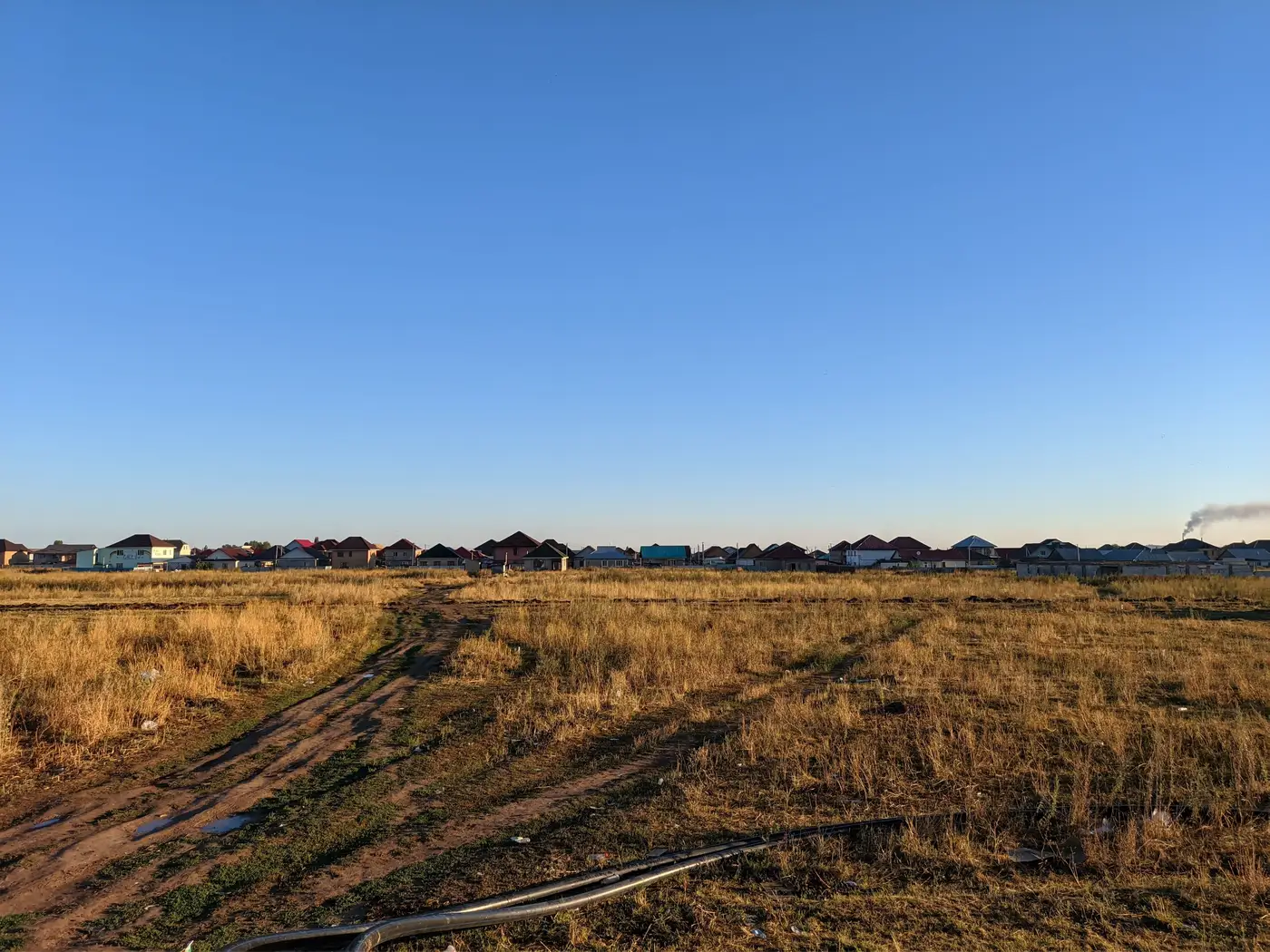
A planning officer in a mid-sized metro region told me about a parcel on the northern edge of her jurisdiction. Nothing dramatic. A developer had cleared and graded roughly four hectares past the approved urban growth boundary, started laying road base, and had foundations poured on six lots before the annual review surfaced it. By the time it showed up in a compliance memo, the subdivision had a name, a sales office, and two occupied houses.
This is closer to the median story in the trade than an unusual one.
The gap was about cadence. Most growth boundary enforcement still runs on whatever review cycle the office can staff: a field visit here, a permit cross-check there, an aerial photo comparison when someone has a free week between the budget cycle and the next council session. None of that catches what happens between inspections.
A grading permit for an adjacent lot gets approved. A contractor pushes fifty meters past the line because the survey stakes were ambiguous, or because nobody drives out to check. Six months later, fifty meters has become a cul-de-sac.
What struck me about this particular case was how ordinary the mechanics were. No one forged a permit. No one bribed an inspector. The developer simply moved faster than the review cycle.
Construction doesn't wait for your office's annual boundary audit, and by the time that audit comes around, grading has become grading plus concrete plus roof trusses plus a mortgage. Enforcement against a cleared pad is a stop-work order. Enforcement against six occupied homes is a political problem, a legal problem, and usually a decision to just amend the boundary after the fact and call it "regularization."
That's the quiet mechanism by which growth boundaries erode: a dozen small breaches each year, caught too late to reverse, that get absorbed into the record instead of fought. Staff who've worked compliance for a decade will tell you the boundary on the map and the boundary on the ground have drifted apart slowly, breach by breach, each one too small and too old by the time it's found to be worth the fight.
The fix people usually reach for is more frequent manual checks: more field visits, more staff hours cross-referencing permit ledgers against old aerial photos. It helps, but it doesn't scale, and it still depends on someone deciding where to look. A boundary runs for dozens or hundreds of kilometers. Staff time doesn't.
Checking the whole boundary against the same measurement every year closes that gap, including the stretches nobody remembers to drive out and inspect. An annual built-up footprint comparison, run against medium-resolution imagery and lined up against the approved boundary, catches a four-hectare encroachment in the same review cycle it happens, not three years into a subdivision's life when the only remaining question is whether to grandfather it in. That's the gap Urban Growth Monitor was built to close: a consistent yearly read on where the built edge actually sits, measured the same way every time, so the next encroachment shows up as a number on a map instead of as a finished street with a name.
The subdivision I mentioned got its boundary amended eighteen months after the fact. The six homeowners kept their houses. The planning office kept the memo as a case study in what to watch for next time. Few people involved would say that's how it should have gone, and most of the compliance staff I've talked with since have said some version of the same thing: they'd rather see the breach at four hectares than argue about it at forty.
If your office is still finding these after the roof trusses go up, it might be worth seeing what an annual check against this year's imagery would have caught first.