Field notes: the ring road that was supposed to be the edge
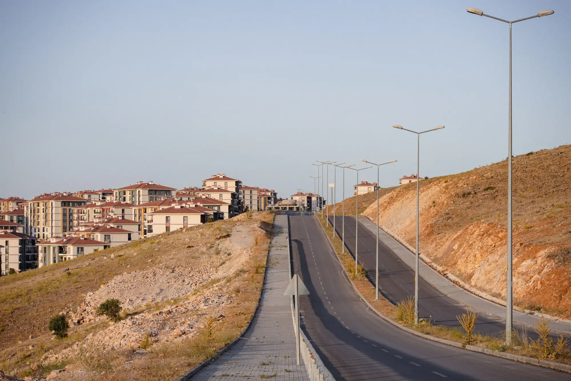
Every planning department has one. A ring road drawn to mark where the city stops and the countryside starts, laid out as much to settle that boundary as to move traffic. It shows up in the growth boundary ordinance as a hard line, surveyed and gazetted, with language about containing sprawl and protecting the agricultural land beyond it.
Then the road gets built. And something predictable happens.
Within two or three dry seasons, the land fronting the new carriageway starts to fill in. First it's roadside stalls and a fuel station at the interchange. Then a cluster of warehouses takes the frontage, because the road is already paved and the land is cheap, being technically outside the boundary. By year five there's a grid of plots stamped onto what used to be scrubland, and the boundary the road was supposed to enforce has become the spine of a new settlement instead.
Nobody enforced anything badly here. No one quietly paved over a buffer zone at night. The expansion sits in plain sight, visible from the carriageway, logged in building permits that local offices keep issuing because the plots have road access and utilities and look, functionally, like the rest of the urbanized area. The boundary line on the zoning map just hasn't caught up to what the infrastructure already decided.
Ring roads do this because they solve the access problem that used to keep land outside the boundary from being worth developing. A parcel two kilometers past the edge was marginal when the only way in was a dirt track. Pave a six-lane road past it with an interchange every few kilometers, and the same parcel is now fifteen minutes from downtown. The boundary didn't move. The economics around it did.
Analysts who've watched this play out more than once start to recognize the shape of it before it happens. The interchange areas light up first, almost always near the exits closest to the existing built-up edge. Frontage fills before the land behind it, because frontage is what gets listed and sold first. And the growth tends to cluster at the interchanges that were meant to serve agricultural traffic, not the ones the plan expected to anchor new nodes, because land assembly is easier where parcels are already small and fragmented.
What's harder to catch in real time is how much of this happens between the surveys a department can actually afford to run. A field visit every two or three years, cross-checked against aerial photos that might be five years out of date themselves, lets a ring road corridor go from open land to several hundred occupied plots before anyone updates the official picture. By the time a comparison gets made, the conversation isn't about whether the boundary held. It's about how large the built area east of the interchange has already gotten, and what, if anything, there is to do about it now.
That lag is the real problem, more than the breach itself. Boundaries get redrawn all the time, and that's a legitimate planning call when the data supports it. What's harder to defend is redrawing a boundary a year or two after the fact because nobody had a current enough picture to flag the growth while there was still a decision to make. The road made the old edge obsolete the day it opened. The department just didn't find out until the plots were already sold.
Urban Growth Monitor checks the built-up footprint against the approved growth boundary every year. A breach near a ring road interchange shows up as hectares on a map the same season it happens, while there's still a decision to make about it.
If your department is still waiting on the next scheduled survey to find out what's grown past your own boundary, it's worth seeing what an annual check would have told you already.